

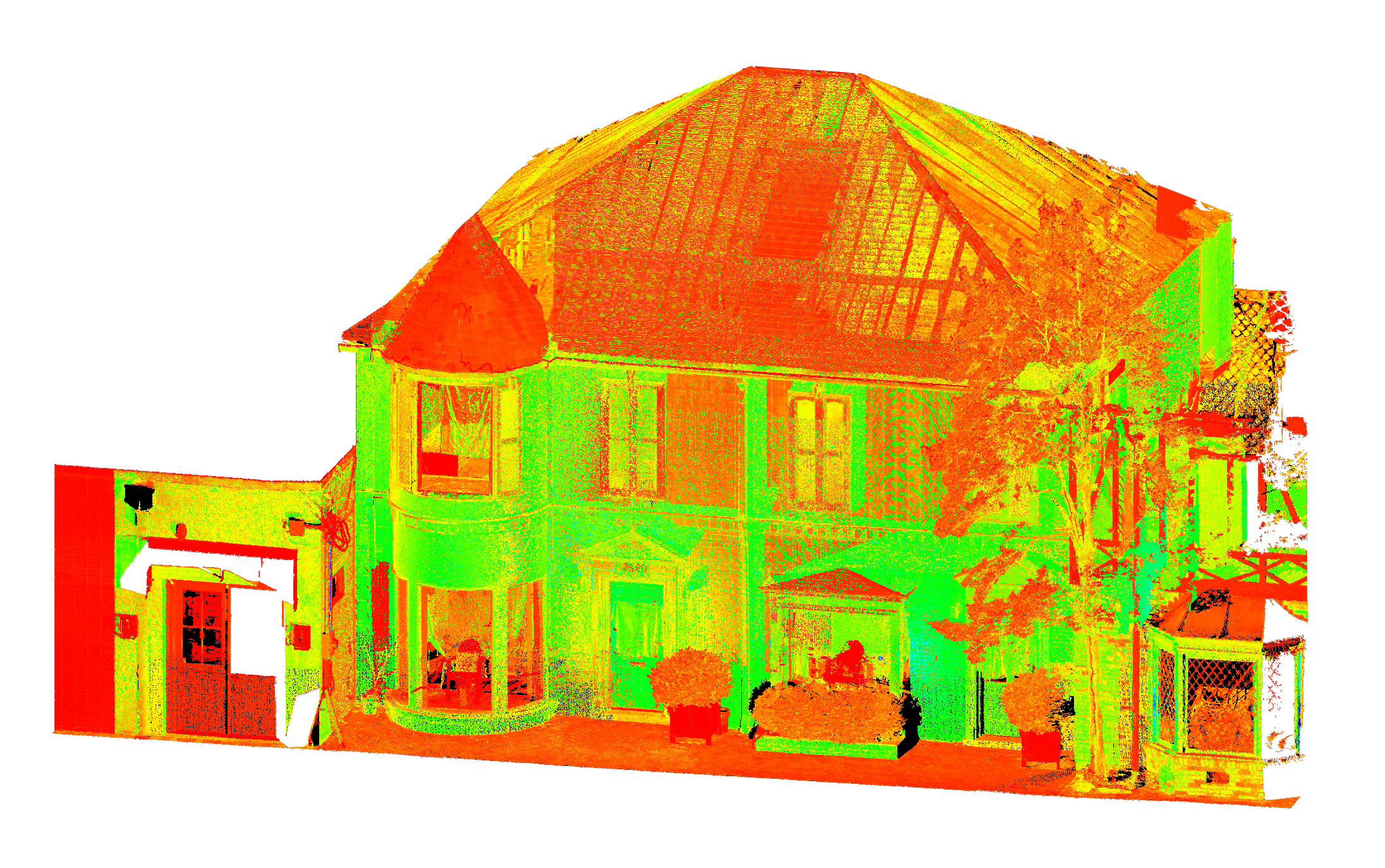
Point Cloud Scanning
A comprehensive three-dimensional scan of an existing building.
YOU RECEIVE:
Full-building laser scan coverage
Color panoramic captured imagery
Registered and aligned point cloud
Delivery format options: LGSX, E57, RCP/RCS, PTS
USEFUL FOR:
Reference documentation
Planning
FM databases
Pre-design analysis
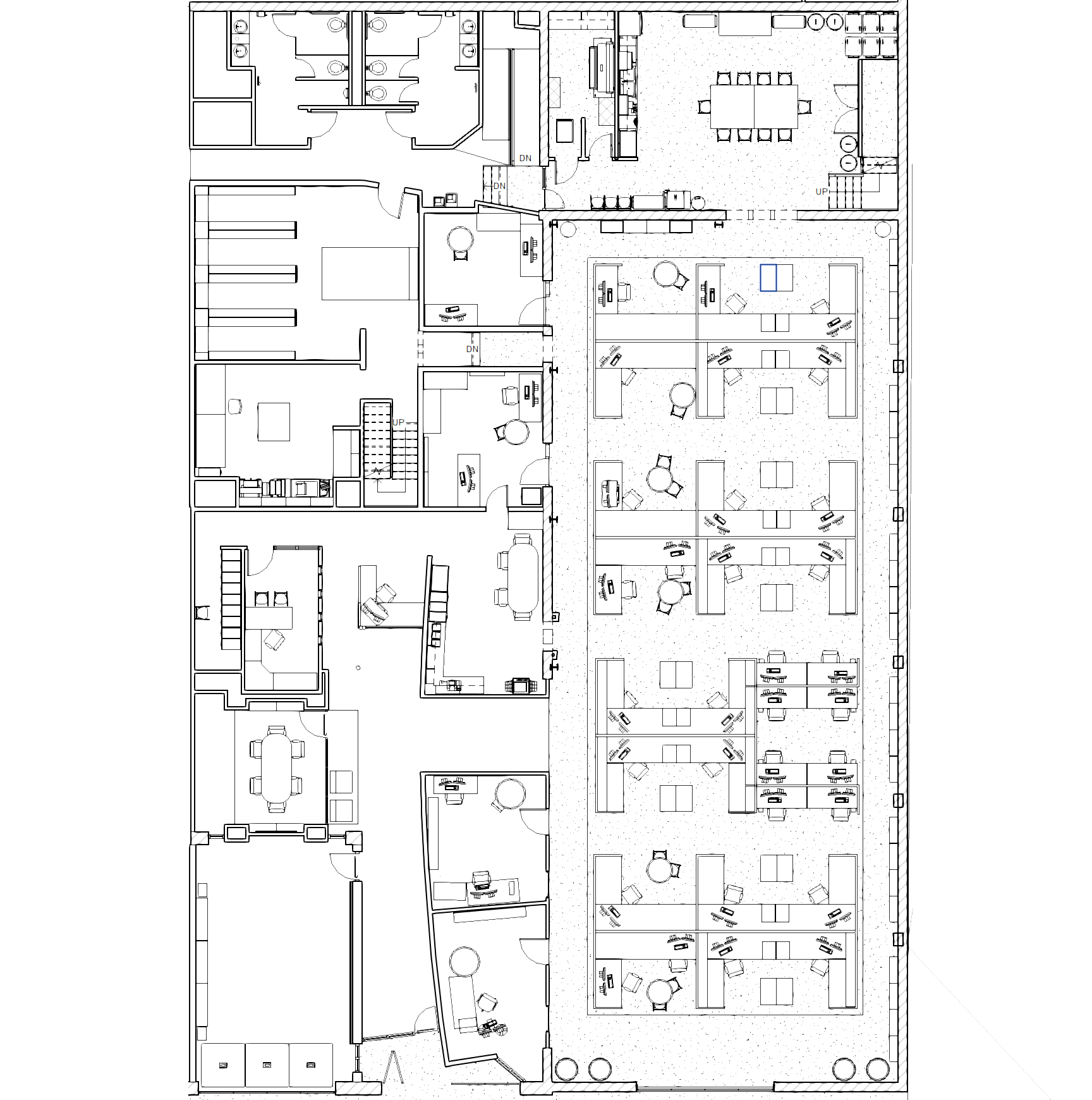
Transform point cloud scans to a set of 2D drawings.
Scan to Plan
YOU RECEIVE:
Everything in Point Cloud Scanning
Noise reduction and cloud clean-up
Levels/floors aligned to vertical datum
Shared coordinate system setup (if provided)
USEFUL FOR:
Architects
Engineers
Contractors
Renovation or addition design
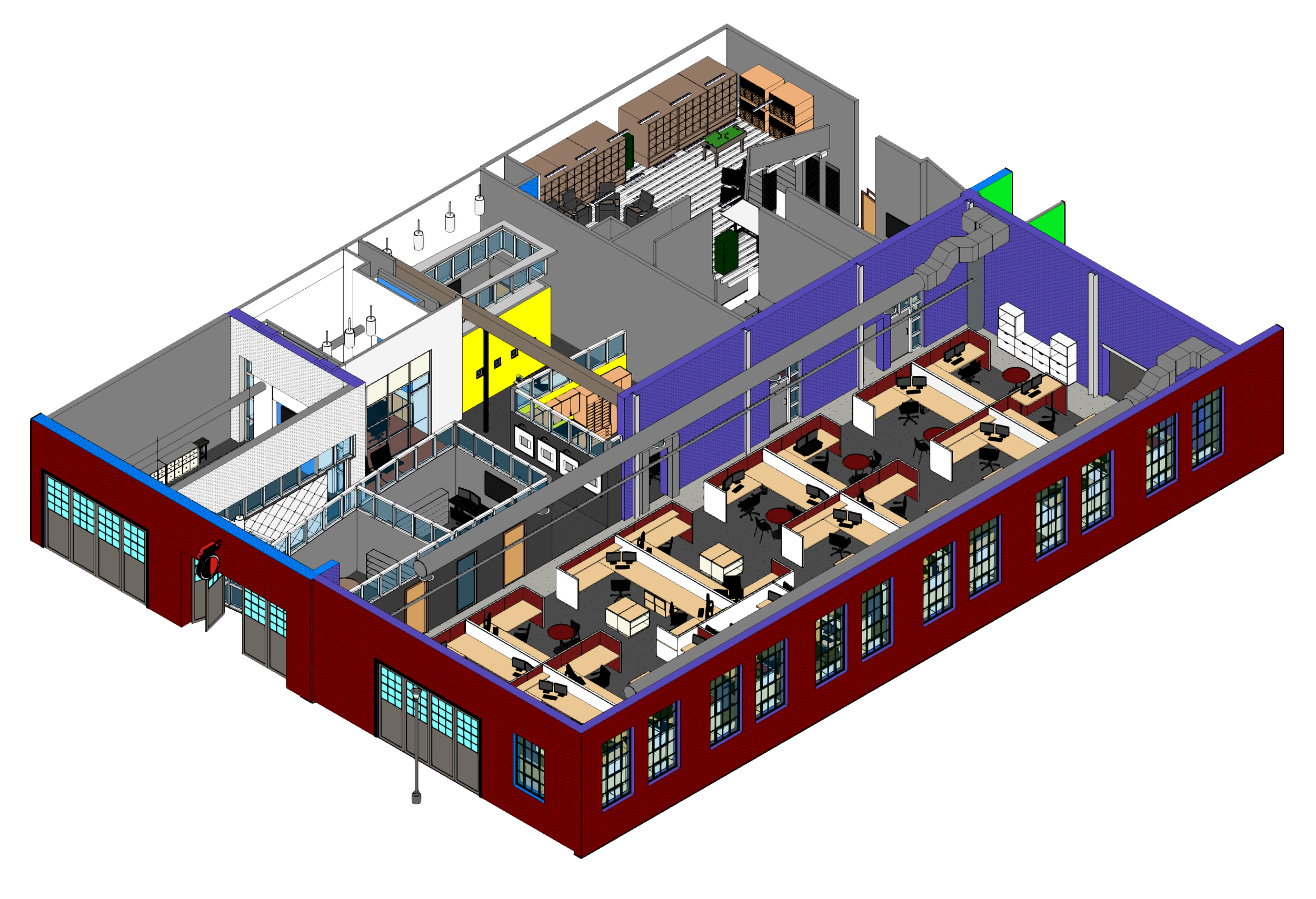
Scan to 3D
Transform point cloud scans to a 3D digital model.
YOU RECEIVE:
Everything in Scan to Plan
Revit / BIM modeling of architectural elements:
Walls, floors, roofs, doors, and windows
Structural grid + primary framing where visible
USEFUL FOR:
Renovation design
Coordination
Pricing
Feasibility studies
Early design phases
Not sure which you need?
Tell us about your building and we can help!