
EDUCATION
What is Point Cloud Scanning?
A quick overview of what we do and how we do it.
What is a Point Cloud
A point cloud is a set of millions of data points plotted three-dimensionally. These points create a precise reference of real-world objects or environments by capturing their surfaces. Each point carries x, y, and z coordinates, and often includes extra information such as color or reflectivity.
For projects involving existing buildings - such as renovations, retrofits, or historical preservation - having an accurate record of current conditions is often one of the most critical steps in planning and design.

How it works
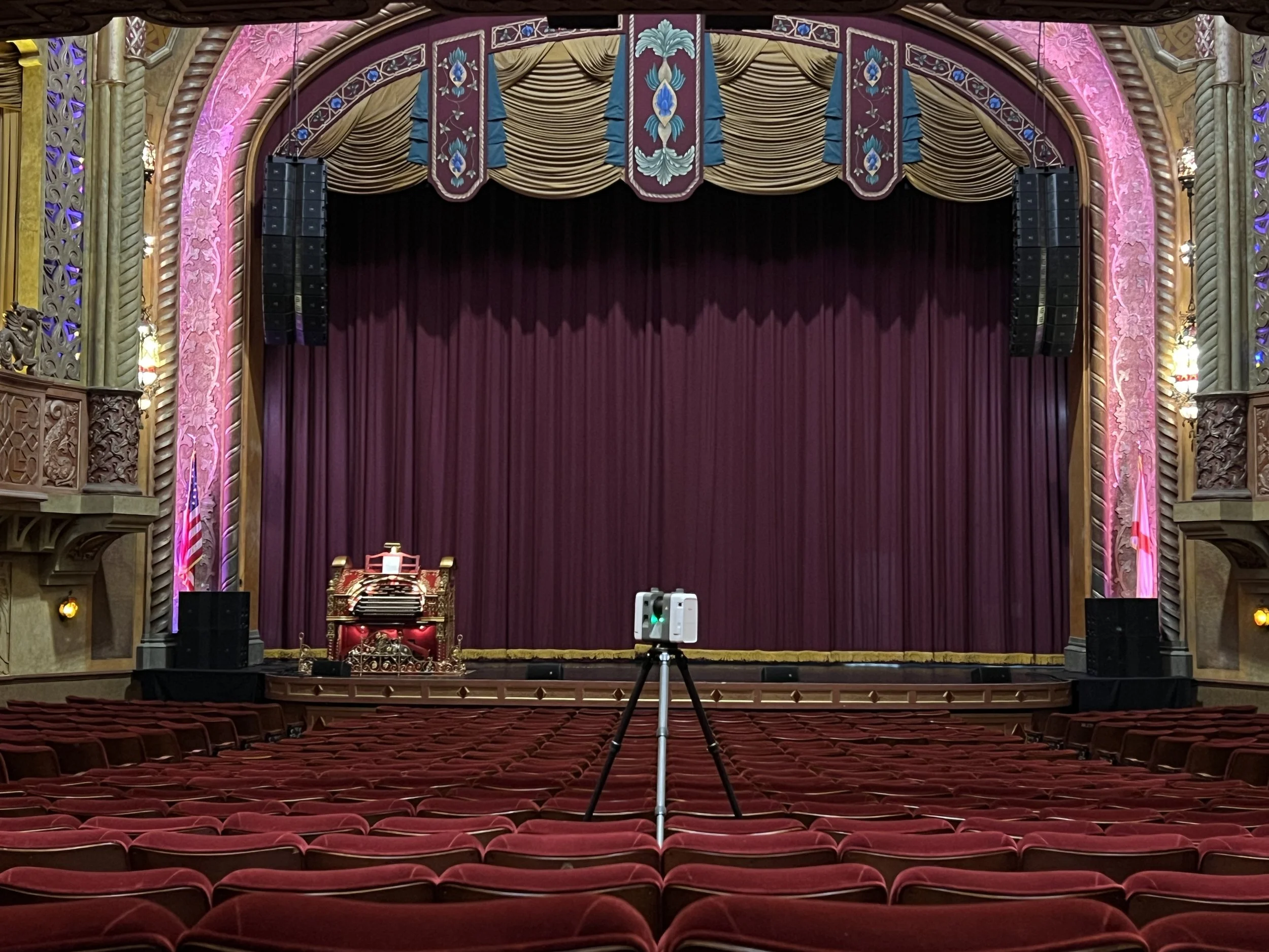
The scanner sends out a laser and times how long it takes to bounce back, which tells it the exact distance to each surface. We capture the space from multiple positions, and the resulting scans are stitched together into one model.
We use a high-performance 3D laser scanner designed for rapid, accurate, and automated reality capture, featuring speeds up to 2 million points per second and under-two-minute scan times. It utilizes Visual Inertial System (VIS) technology for automatic, real-time field registration, significantly speeding up workflows in construction, engineering, and surveying
OUR PROCESS
What a project looks like
FROM SCAN TO DELIVERABLES
The same scan becomes three outputs
Point Cloud Scanning
A comprehensive three-dimensional scan of an existing building.
Scan to Plan
Transform point cloud scans to a set of two-dimensional drawings.
Scan to Digital Model
Transform point cloud scans to a 3D digital model.
Questions we’re asked
COMMON QUESTIONS
-
Getting started is simple. Reach out via our contact form, give us a call, or email us! We’ll walk you through the next steps and answer any questions along the way.
-
We pride ourselves on our client service. As a small company, we will be by your side at every step of your project, offering one-on-one support at your convenience.
-
You can reach us anytime via our contact page or email. We aim to respond quickly—usually within one business day.
-
We offer flexible pricing based on project type and complexity. After an initial conversation, we’ll provide a transparent quote with no hidden costs.
Still have questions? Take a look at the FAQ or reach out anytime.
Have a building in mind?
Tell us about it and we can explain what a scan can do for you