

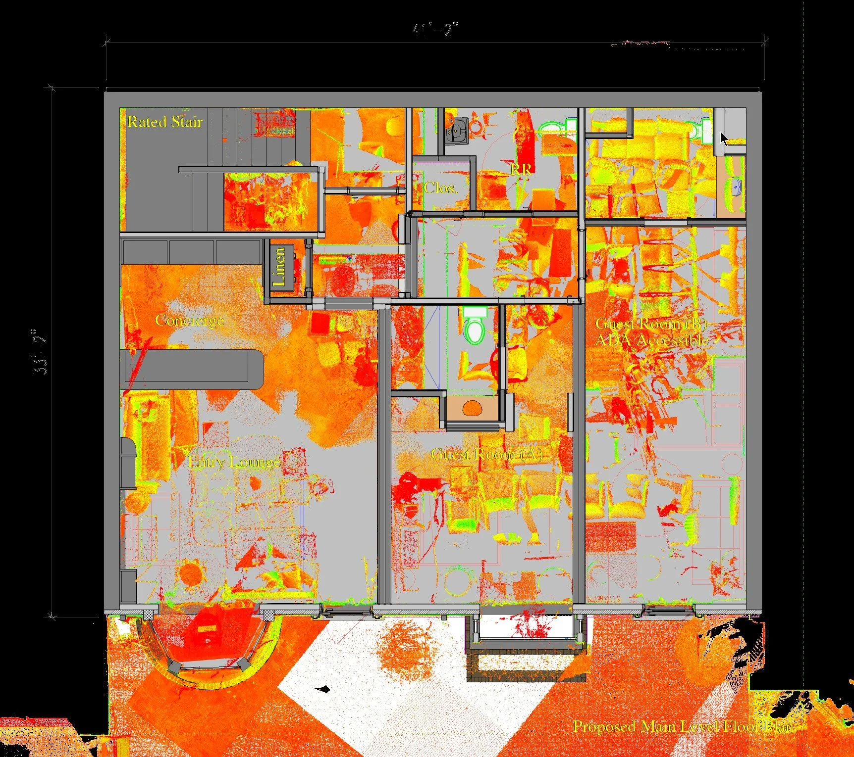
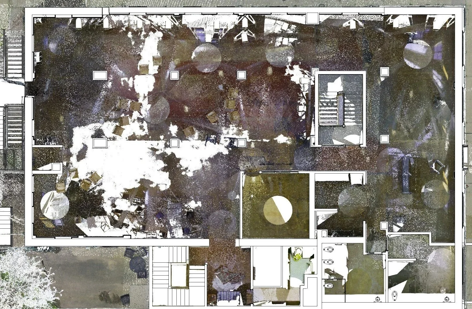
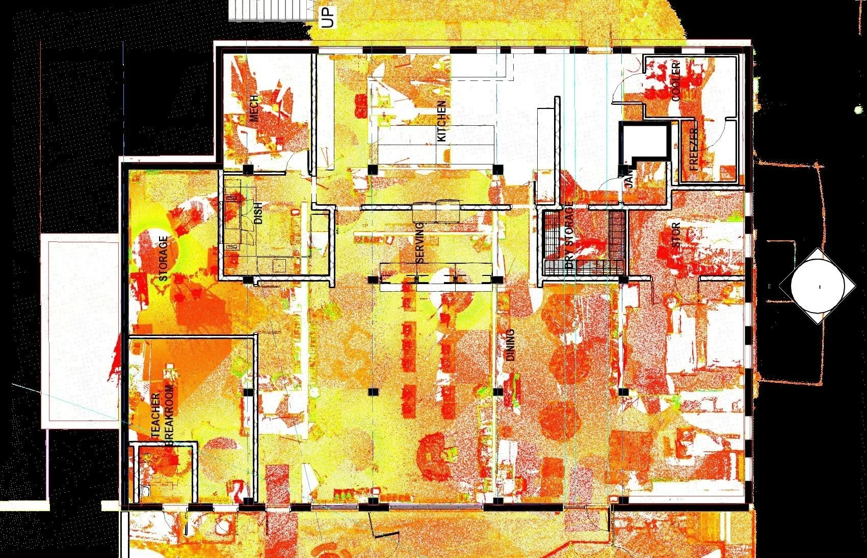
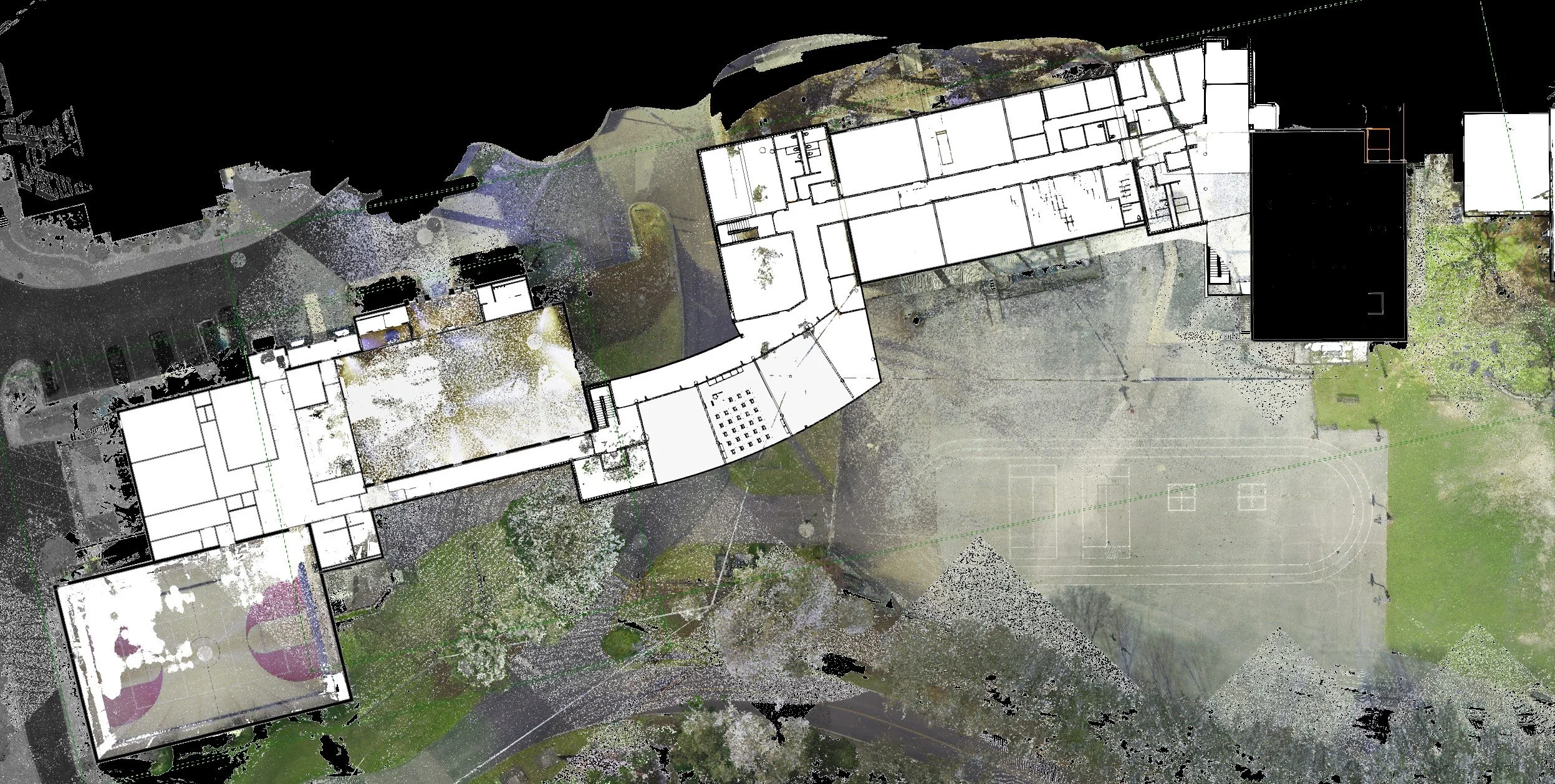
Scan to Plan is the process of converting laser-scanned point cloud data into a two-dimensional digital model or 2D plans. This workflow takes the raw scan of a site or building and translates it into a comprehensive, detailed floor plan that design, engineering, and construction teams can use. The result is cost-effective documentation with precise measurements. Is this the right option for me?
Scan to Plan
Scanning & Data Collection
Step 1: Our team captures millions of data points representing the building or site.
Data Extraction & Processing
Step 2: Our team imports the raw data into software allowing us to remove excess points and unwanted noise.
Drawing Production
Step 3: Our team produces a final drawing set ready for review by contractors, architects, and review agencies.


What can 2D drawings do?
-
Small Scale Projects: Projects involving small areas, reworks, or minor renovations, do not require the complexity of a 3D model. 2D drawings are able to fully communicate design intent for these smaller projects.
Quantity / Take Offs: 2D drawings are sufficient to calculate material quantities for cost estimation and procurement.
As-Built Documentation: Renovations, retrofits and historic preservation projects require precise records of existing conditions. Accurate scans allow us to provide you with detailed drawings for documentation purposes.
-
Creating and editing 2D drawings typically requires less time and funds than building and managing a full 3D model.
-
3D scans capture millions of data points from the real environment, ensuring precise dimensions and geometry. When converted to 2D drawings, this accuracy minimizes human error in manual measurements and guarantees that the drawings reflect actual site conditions.
-
While 3D models are powerful, not all contractors or stakeholders have the tools to interpret then. 2D drawings are universally understood, making it easier for architects, engineers, and contractors to coordinate building information without technical barriers.
-
Processed 2D drawings can be imported for further design development.