

A point cloud is a set of millions of data points plotted three-dimensionally. These points create a precise reference of real-world objects or environments by capturing their surfaces. Each point carries x, y, and z coordinates, and often includes extra information such as color or reflectivity. For projects involving existing buildings - such as renovations, retrofits, or historical preservation - having an accurate record of current conditions is often one of the most critical steps in planning and design. Is this the right option for me?
Point Cloud Scanning

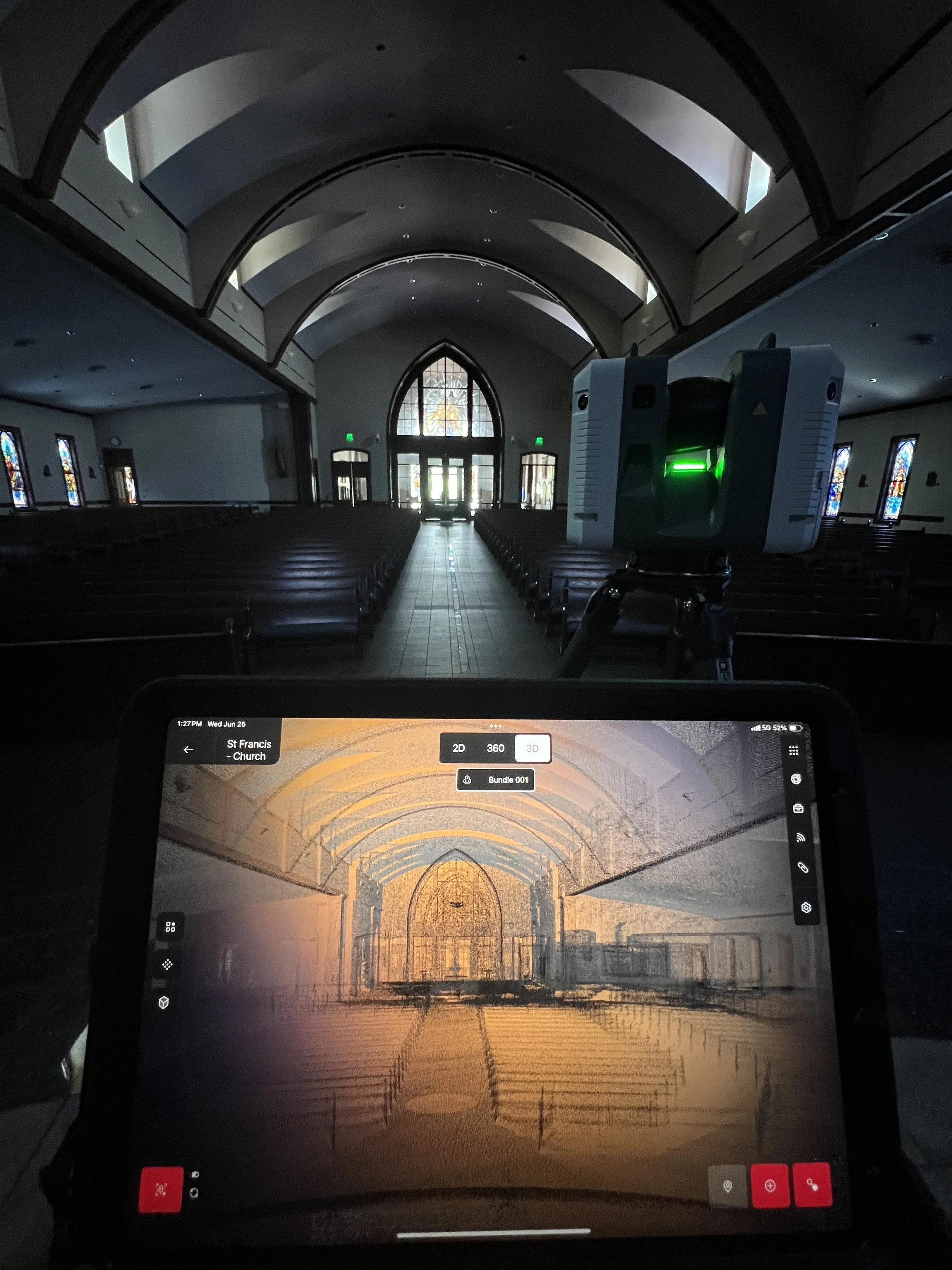
Thorough Data Collection
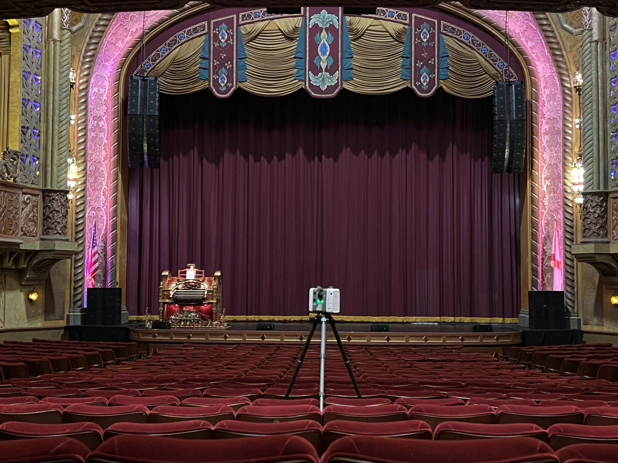
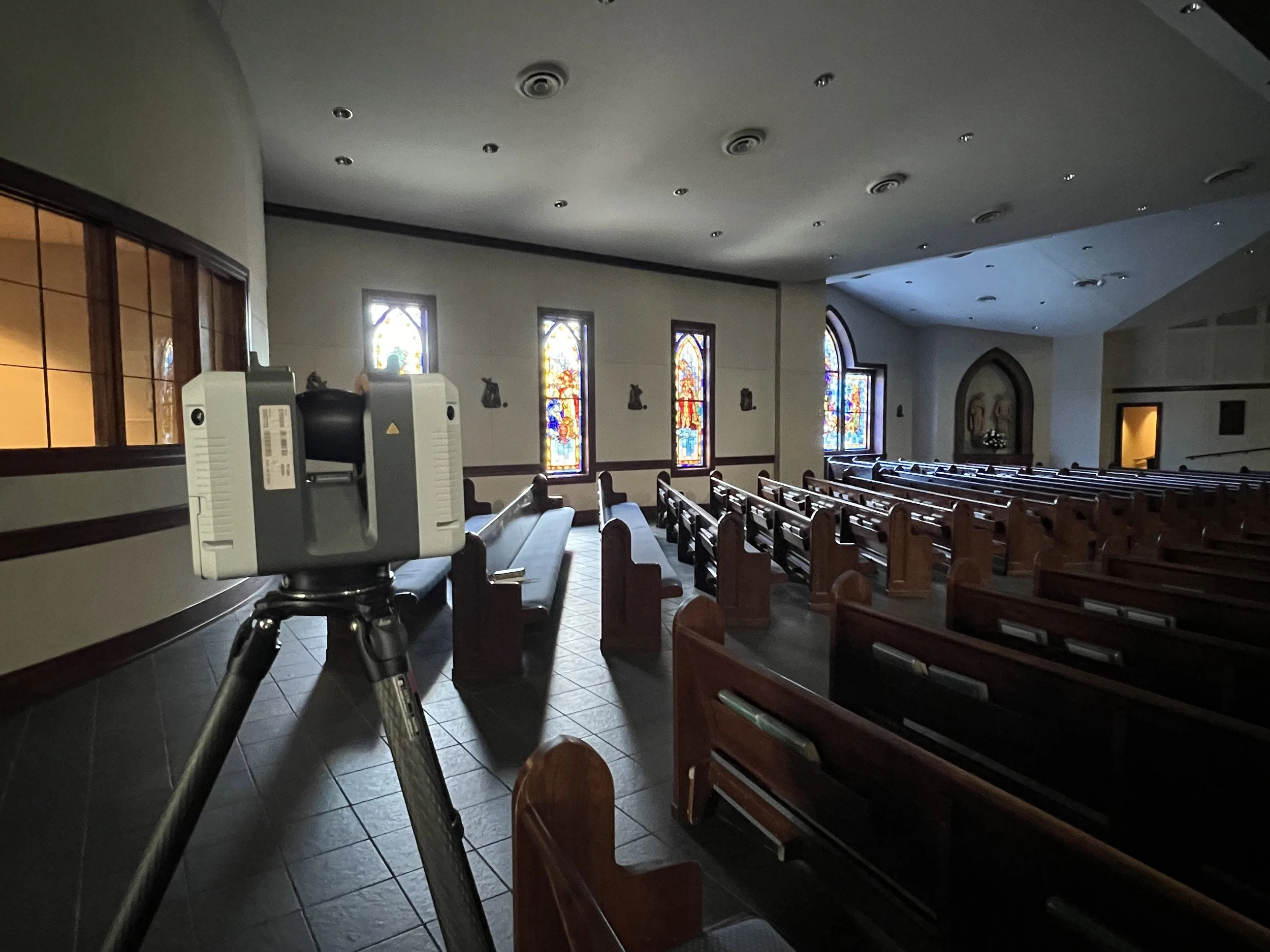
Step 1: Using a laser scanner, 3D measurements are captured from the surfaces of physical objects.
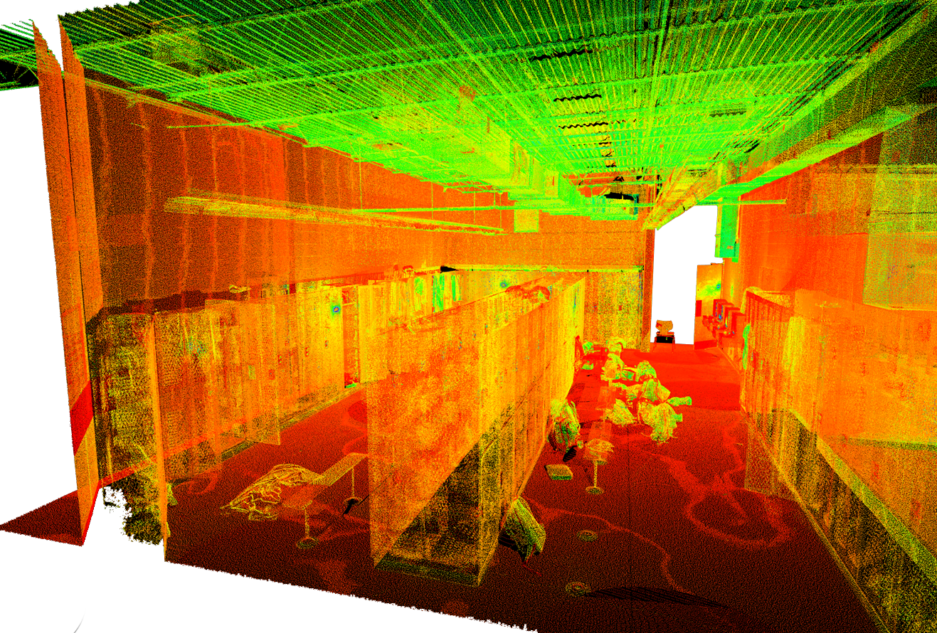
Efficiency & Precision
Step 2: Scans are taken from multiple positions and then combined, or “registered” into a single model.

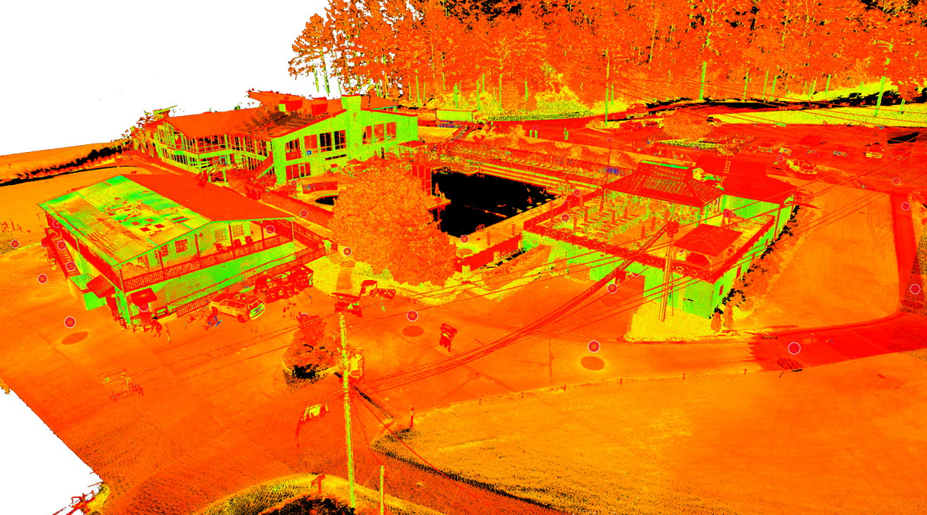
Detailed Visualization
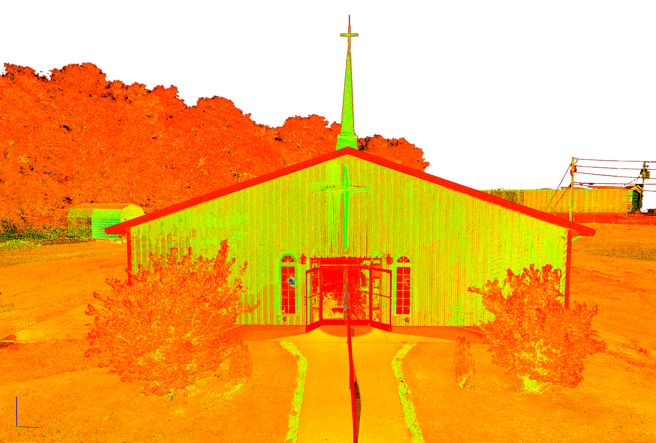
Step 3: The process results in a highly accurate 3D point cloud that can represent a portion of a facility or an entire structure.
What can a point cloud scan do?
-
Minimize guesswork and errors. Laser scanning produces a highly accurate record of your building as it stands today - from overall geometry to the smallest architectural details. Whether you’re preparing for a renovation, an addition, or preserving a historic structure, point clouds provide a trusted foundation for future work.
-
Scanned data can be transformed into detailed Building Information Models (BIM), giving project teams a digital twin of the facility. This enhances coordination across architects, engineers, and contractors, and ensures that every decision is grounded in real-world conditions.
-
Let rich datasets support confident choices at every stage of design and construction. This clarity leads to stronger project outcomes and more efficient use of resources.
-
Point clouds make it possible to compare work in progress with approved design documents. By catching deviations early, owners and contractors can avoid costly rework and keep projects on schedule.
-
For schools, universities, and commercial facilities, updating existing spaces often means working within tight constraints. Point cloud data streamlines this process by exposing hidden conflicts between new systems and old structures before they become problems.
-
Overlaying scan data with design models reveals conflicts between building systems — like HVAC, plumbing, and electrical — before construction begins. This proactive step reduces surprises in the field and helps keep budgets intact.
-
From complex environments to code compliance, laser scanning supports safer project execution. The ability to measure and analyze spaces virtually reduces risk for both workers and building occupants.